The Natomas Basin Conservancy
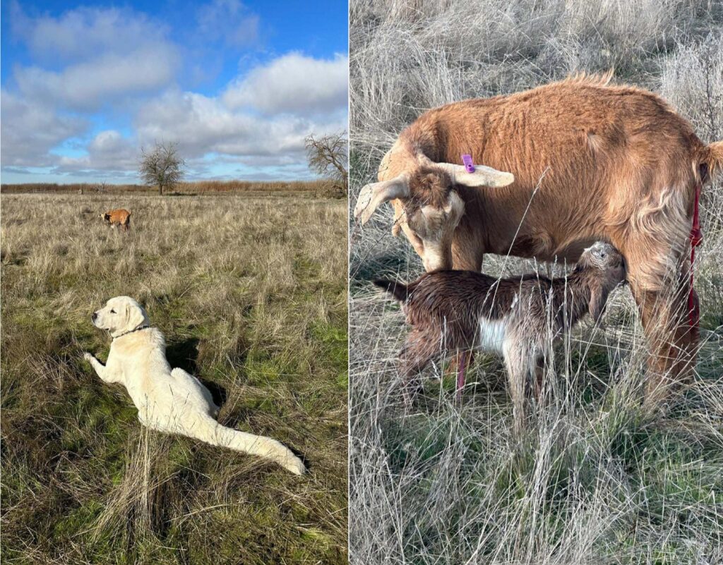
The Conservancy provides refuge and sanctuary for wildlife displaced by urban activity in the Natomas Basin.
Mission
The Conservancy acquires and manages land for the purpose of implementing the Natomas Basin Habitat Conservation Plan.

Conservancy News
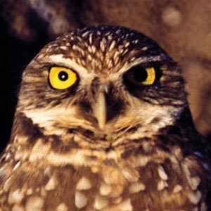
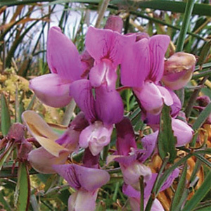
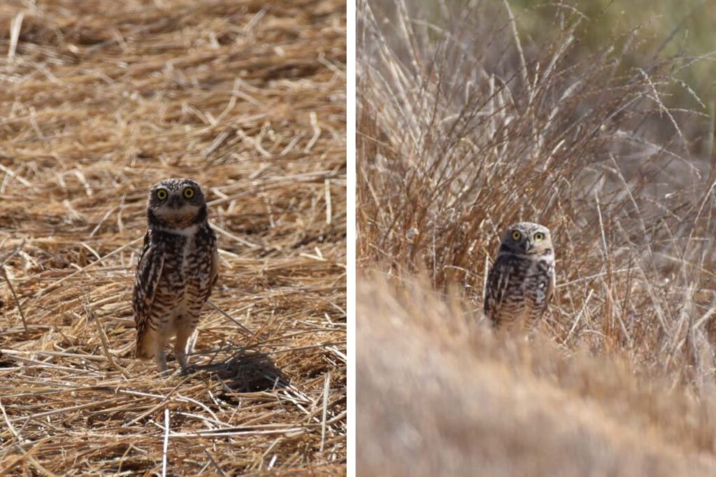
The Covered Species
As Plan Operator for the HCPs, the Conservancy’s effort is focused on the conservation and protection of 22 plant and animal species. Many of the species carry a “threatened” or “endangered” conservation status. You can learn about the HCP’s Covered Species here, or in this free guide.